
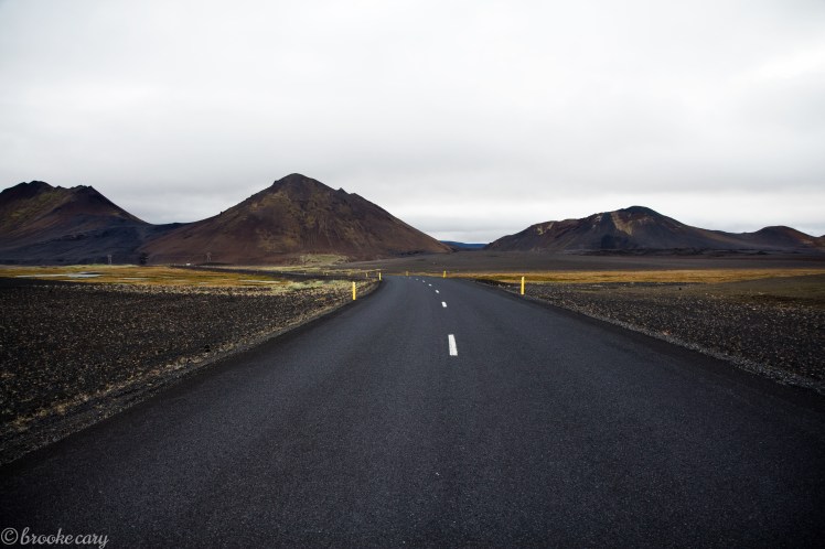
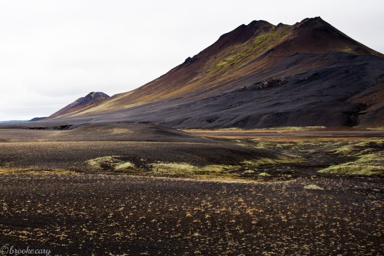
And we’ve made it to the final leg of our trip around the island. Picking up from Part II, we set off from the coastal city of Seyðisfjörður and made our way to the Mývatn region in Northern Iceland. You could immediately sense the change from the greenery of the Fjords and feel the heavy volcanic activity in the air!
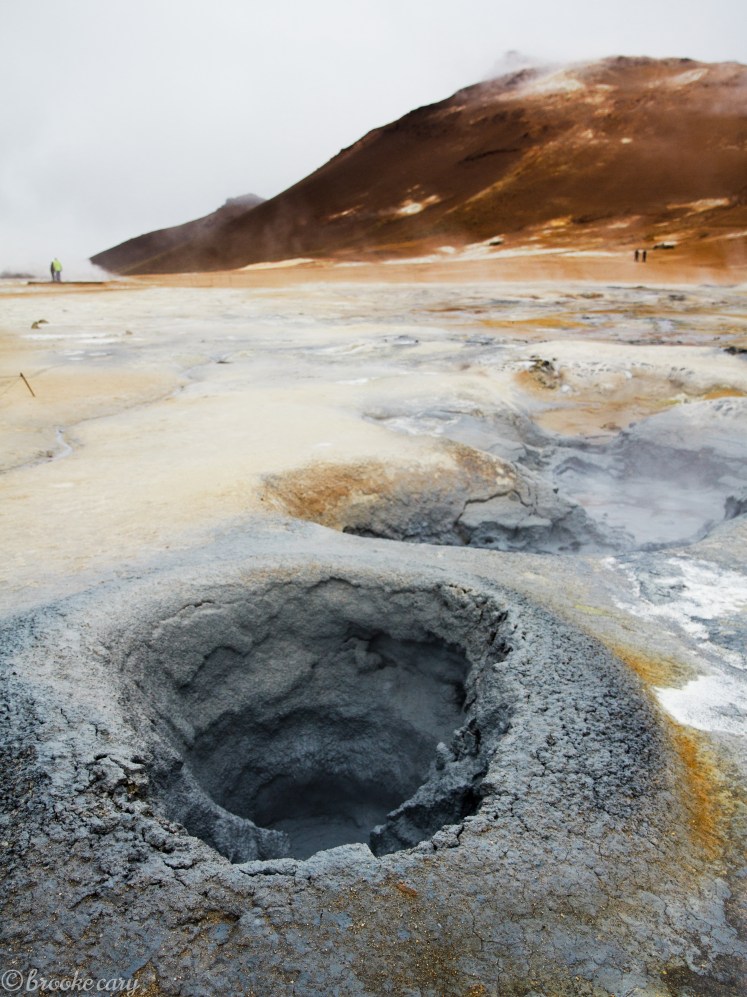
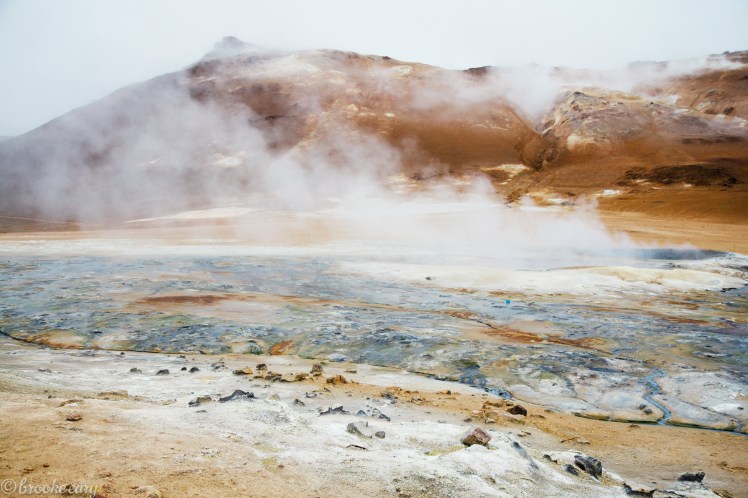
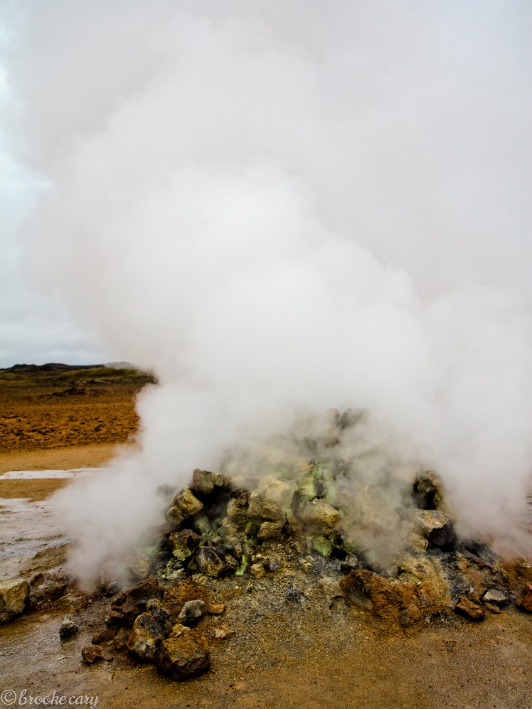
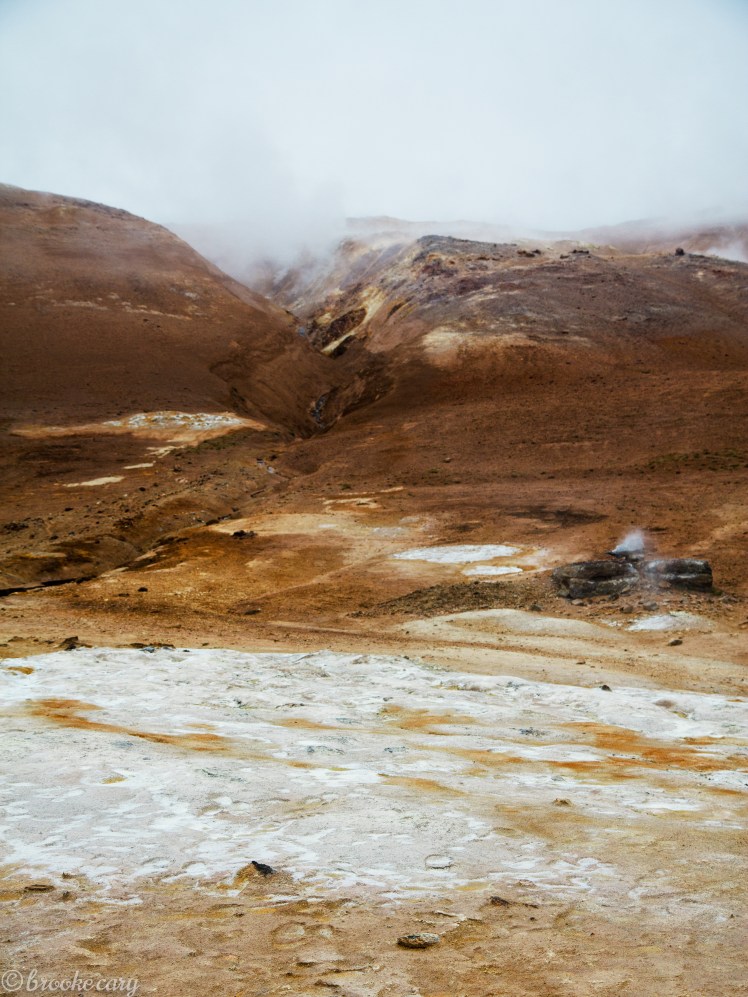 Hverir, with boiling mud cauldrons, steaming fumaroles and lunar landscapes.

 The weather was colder in this region, it even snowed while we were there!
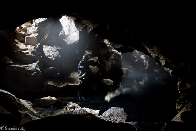
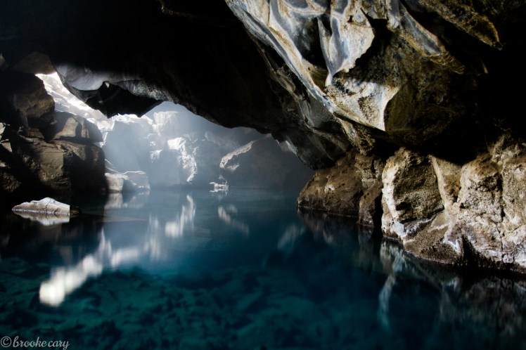 Grjótagjá cave was a sight to see. Locals once bathed in this hot spring but volcanic activity has increased the temperature and it has been deemed unsafe.
 Krafla Power Station, Iceland’s largest geothermal power plant. Since 1977, the Krafla area has been a source of the geothermal energy with very high ground temperatures. A deep drilling project found magma here only 2.1km deep.
 Víti Crater, which formed during a massive volcanic eruption in 1724. The eruption continued non-stop for 5 years and Víti’s bubbling cauldron boiled for more than a century after that.
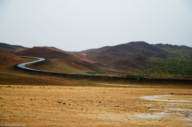
After two busy days in Mývatn, we were ready to continue our road trip. We took a detour north to the whale watching capitol Husavik and then made our way to Akureryi. The weather was dreary at times and the driving was starting to take it’s toll. Continuing west, we didn’t do a lot of sightseeing in the 215 miles between Akureyi and the Snæfellsnes Peninsula. We visited a traditional turf house museum, tried some fantastic ice cream at a local dairy and camped. Those were the notable highlights. When we reached the Peninsula, we were greeted with some dirt roads, fishing villages and Snæfellsjökull National Park. The weather had steadily gotten worse and the winds were stronger than ever!
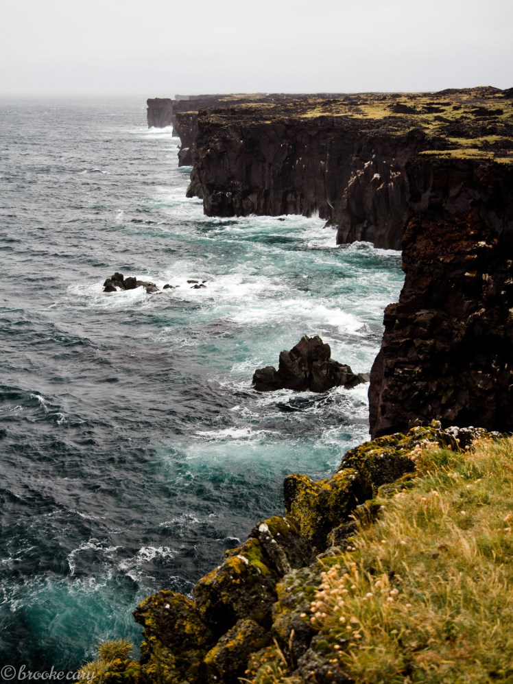 Cliffs in Snæfellsjökull National Park. We drove to this location through a lava field and it’s a little difficult to imagine the lava flowing right up to the water’s edge.


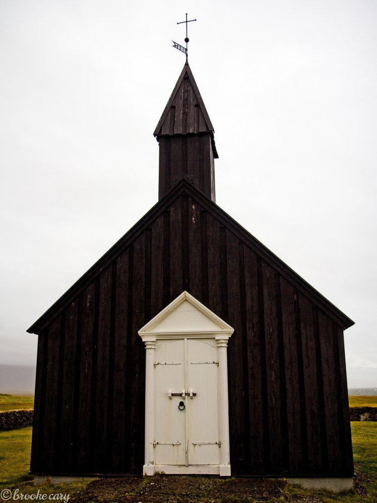 The black church in Buðir. The paint color is meant to protect the building from the harsh Icelandic elements.
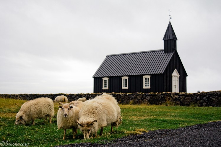 The only thing nearby was a small hotel and a herd of sheep.
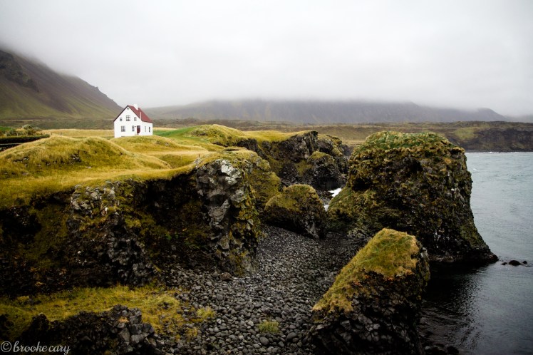 Picturesque home in the village Arnarstapi
 We completed our circle and made it back to Reykjavík 2 days earlier than expected. We decided to book an organized tour to Hekla and Landmannalaugar. Located in the interior Highlands, these are two locations we wouldn’t have made it to on our own. The Highlands are known for rough roads, river crossings and unpredictable weather conditions.
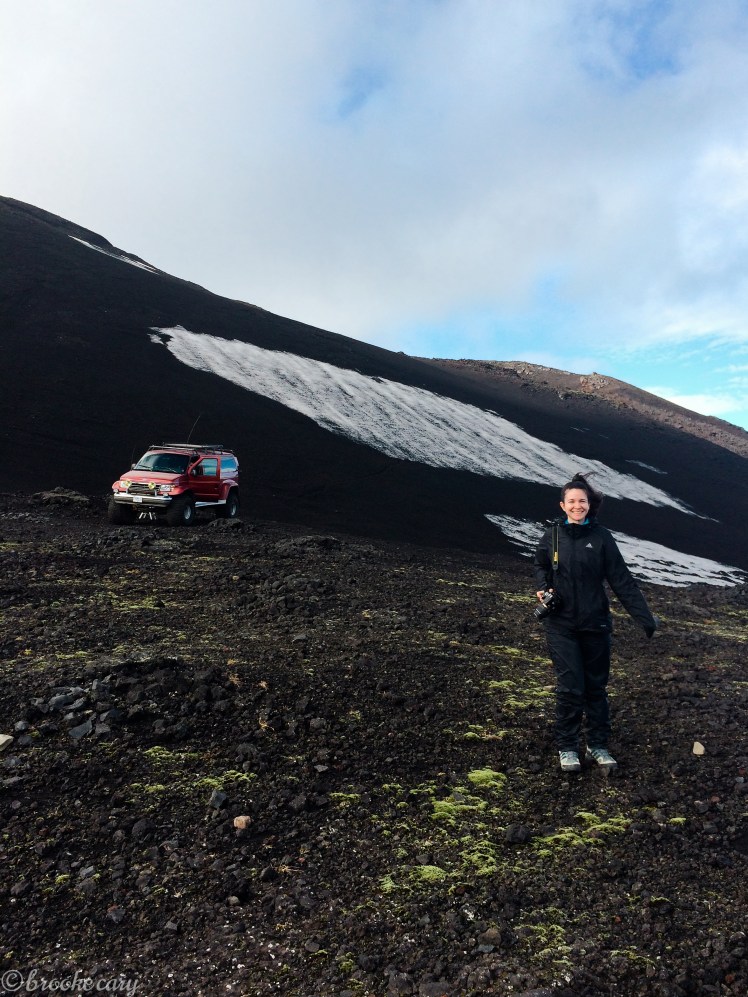 Laura standing atop the volcano Hekla, also known by the locals as the entrance to Hell. Check out our ride in the back!
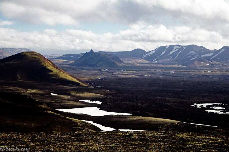 Views from the summit of Hekla


 Making our way through the lava fields to Landmannalaugar.
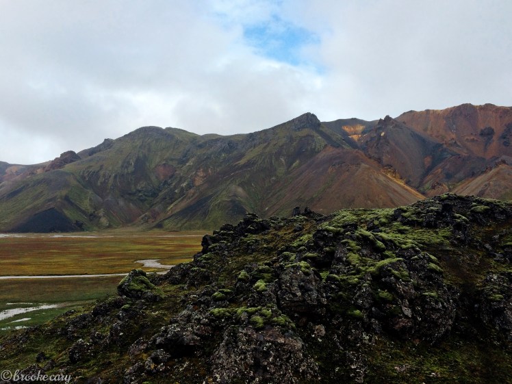
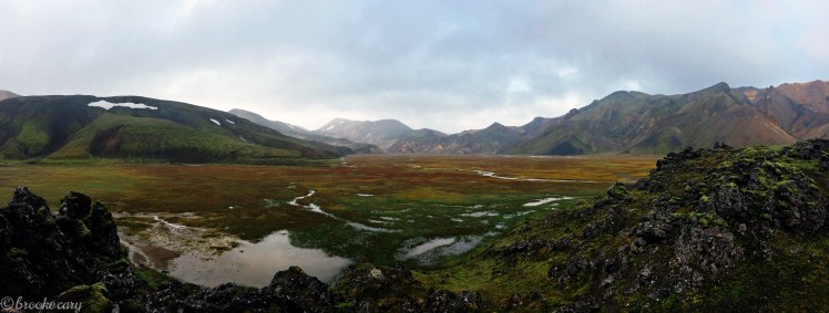 A glimpse of the colorful rhyolite hills of the Icelandic highlands. We had planned to hike here but it was raining steadily and quite cold. I would love to return to this place someday and explore the area properly.
 A favorite picture of us from our trip (which happens to be a poor quality iPhone photo!) but here we are prepping to sleep in the back of our SUV. Surprisingly, I think we actually enjoyed camping! It gave us the freedom and flexibility to stay where we liked and also saved us money. I can’t imagine completing the journey any other way!
 The entire route. Until next time Iceland!

Beautiful pictures. A wonderful memory made I’m sure! I love living vicariously through your via your travel photos. Thank you for sharing!
Thanks Teresa! I’m so glad you like them.
pretty cool stuff!
Thanks babe!
Thanks for sharing Brookie!! 🙂
I’m happy you are following along Gigi! 🙂